Information Technology and Records Management Task
https://support.trcastaff.ca/servicedesk/customer/portal/1
Welcome to Information Technology and Records Management (ITRM) at TRCA.
ITRM is a business unit within Corporate Services. We are responsible for the Information and Technology vision and direction at TRCA. Our key focus areas are ensuring the organization has the applications and technology to achieve their strategic and operational goals and objectives.
ITRM Service Desk
To reach the ITRM Service Desk by phone please call us at 416.661.6600 ext 4357 or visit https://support.trcastaff.ca/servicedesk/customer/portal/1.
A map doesn’t have to be a static image; it can be interactive, informative and entertaining. Below is a list of modern mapping technologies being utilized by the GIS Team at TRCA. Please take a moment to familiarize yourself with these new technologies and consider how your department could benefit from moving beyond paper maps. If you have any questions please don’t hesitate to reach out we’re always ready to help!
Interactive Web Maps and Data Viewers
Web mapping allows users to explore our data online through a user-friendly interface. Staff have the ability to zoom into site specific areas for greater detail, add or remove data layers, and search for specific information within the map or hosted on our servers. Web maps can also be customized to included useful tools for exploring and enhancing data.
Our group has extensive experience developing web mapping applications ranging from the multi-purpose general apps to project specific and mobile apps.

Multi-purpose
Custom applications
When Map Quality Matters

Avenza’s Mapublisher combines the cartographic and data management abilities of high-end GIS software, including ArcGIS, with the functionality of Adobe Illustrator.
We can also create engaging and informative web-based mobile maps that can serve as a reference guide ideal for tourist destinations and conservation areas.
View some examples:
Tell a Story

The story a map tells is not always obvious. A story map, however, can lead users through a narrative, by combining interactive maps with immersive content, including text, photos, video and audio.
This past year our group created a story map describing the events of Hurricane Hazel, the subsequent formation of Toronto and Region Conservation Authority and current practices in flood management.
Environics
Environics offers a wide range of powerful databases that offer insight into the demographic composition and psychographic profiles of communities. The profiles can be broken down by standard census geographies, such as dissemination areas, census tracts, sub-divisions, divisions and provinces. They can also be broken down by custom geographies, such as watershed and SNAPs.
The core feature of Environics is the Prizm5 classification system. Prizm5 consists of 68 segments that capture current demographics, lifestyles, consumer behaviour and settlement patterns in Canada. Find out which cluster you live in or Explore the 68 Prizm 5 Segments.

Keep your data in good shape
Another core competency of the GIS/IT team is database management. Our team has extensive experience in database design, deployment, customization and administration. Below is a link to the TRCA Database Web Application, where you can find databases ranging from fisheries and natural heritage monitoring to project management and enforcement.
The Geomatics Service Request database provides TRCA staff with a convenient way to request GIS services and data.
Services available
Here are some of the common services we provide:
- Mapping
- Georeferencing
- GPS Deployment and Management
- Spatial data creation and management
- Spatial data extraction and processing
- Geo-Spatial Modelling
- Geo-Spatial Analysis
- Geo-Spatial Web-Application Development
Databases available
Here are some of the spatial databases that we maintain:
- Education
- Environics
- Flood Plain Mapping
- Geologic
- Historic Photos
- Landuse
- Monitoring
- Natural Heritage
- Policy
- Property
- Restoration
- Source Water Protection
We also maintain and support several additional spatial and non-spatial databases for various TRCA divisions. Please contact us for more information.
Contact
For additional information and to explore your mapping options, contact
daniela.macleod@trca.on.ca
For additional information concerning databases, contact
ming.guo@trca.on.ca
GIS Help Documents
Map Chat
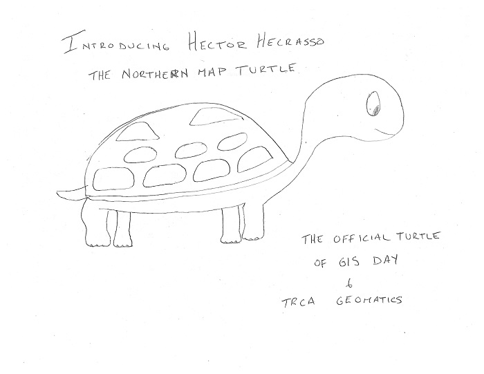
Hector Hecrasso, the official mascot of TRCA Geomatics was created in 2014. Hector is a Northern Map Turtle and enjoys cartography, communal basking and eating delicious crayfish. Check out the early concept art.