Staff Feature – Survey, Drafting and Design
February 1, 2023
Survey, Drafting and Design – Professional Services
Restoration and Infrastructure Division
The Survey, Drafting and Design team provides services across TRCA’s divisions for a variety of different projects and programs that are delivered throughout our jurisdiction. Over the years this team has been a key contributor to many of TRCA’s signature projects, ranging from smaller inland sites to our larger waterfront parks.
The team is well known for survey work, but they do so much more. Here is a snapshot of services provided to support work across the organization:
- Existing condition drawings including survey, echo sounding, and 2D Imaging Sonar
- Design drafting for internally delivered/constructed projects, like natural channel work
- Volume calculations for estimates
- Volume calculations for billing
- Construction layout and on-site support with elevations and measurements
- As-built conditions surveys and continued monitoring as needed
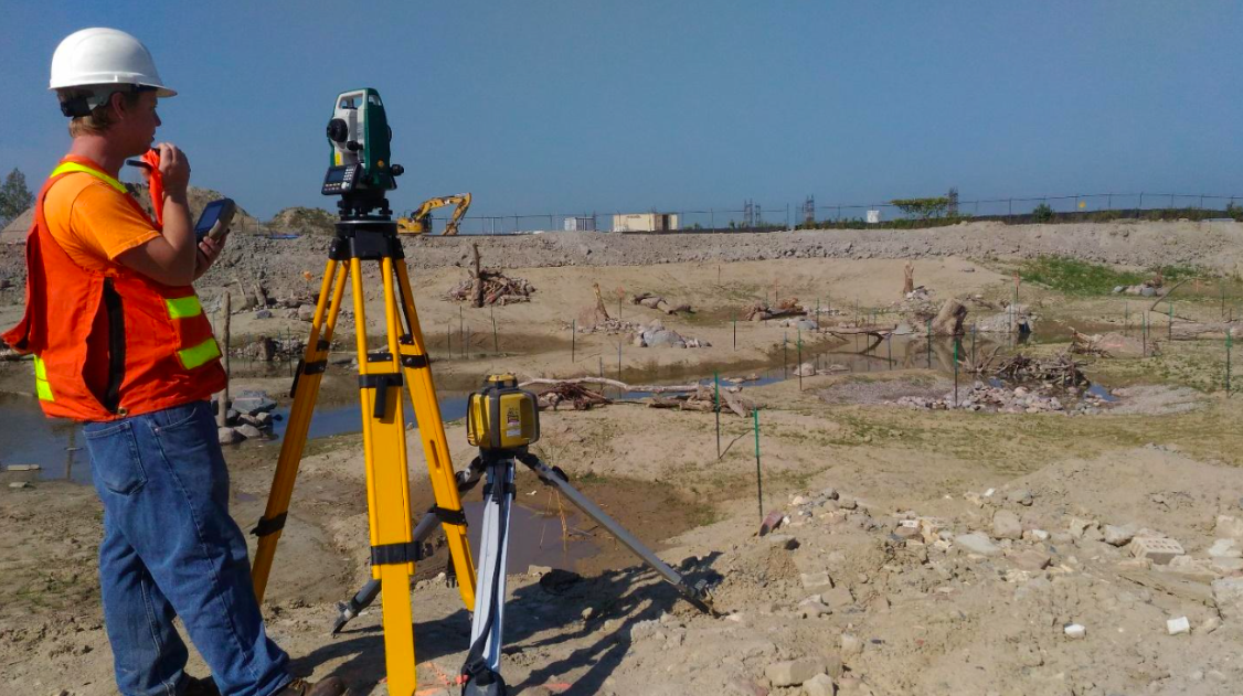
Survey
Many projects or studies start with an existing conditions survey to produce a related drawing.
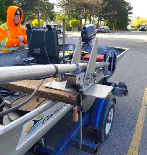
The first step is a properly georeferenced topographical survey based on data collected by the team to produce a topographical map. Some of the project sites that are based at Lake Ontario or other water bodies can be paired with echo-sounding data to produce an adjacent bathymetry map.
The team’s newest technologies include sonar capabilities, which give a georeferenced picture of the lakebed and any objects found. This can also be paired with a topographical map and bathymetry to produce a full picture of what is in the field.
These products are used by project managers to advance work like erosion mitigation designs, enhanced or new parkland/habitat designs, arborist reports, habitat or geomorphology studies, archaeology mapping, flood prevention, inland fill site volumes, and road and parking lot improvements.
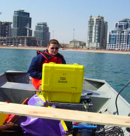
Echo Sounding
Echo sounding is the technique of using sound pulses directed from a transducer, just below the water surface, vertically down to measure the distance to the bottom by means of sound waves. This allows for mapping of the bottom of the waterbody, which can remain as depths or be converted to elevations.
2D Imaging Sonar
Sonar, short for sound, navigation and ranging, is helpful for exploring and mapping underwater because sound waves travel farther in the water than radar and light waves. Sonar allows us to view the lake bottom and any objects that may be there.
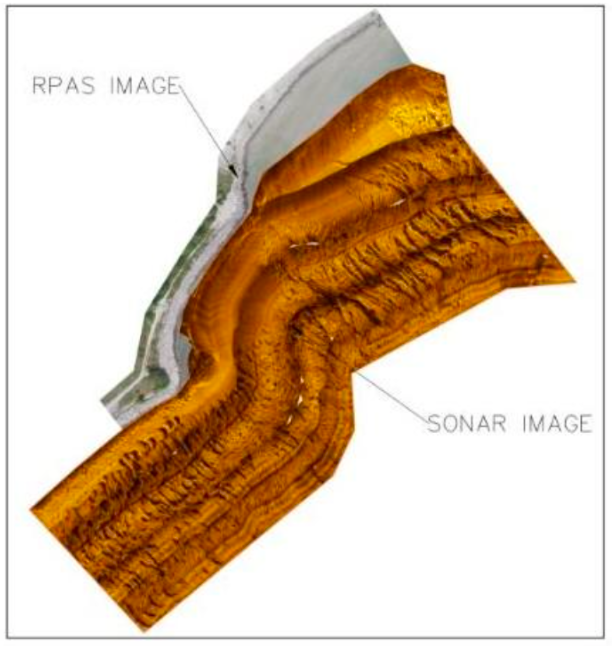 The team has used Sonar to view stonework that has been placed under the water for some of our structures, like headlands or revetements. Team members have also been able to view and record some of the habitat components that have been added to our projects along the shores of Lake Ontario.
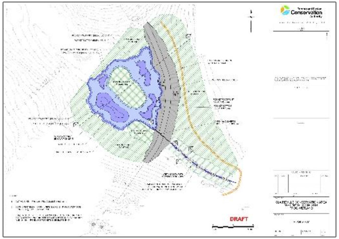
Sonar provides a tool to monitor structures and habitat, from construction and beyond, for structural integrity and effectiveness. The image to the left shows an example where Remotely Piloted Aircraft System (RPAS) imagery has been combined with Sonar.
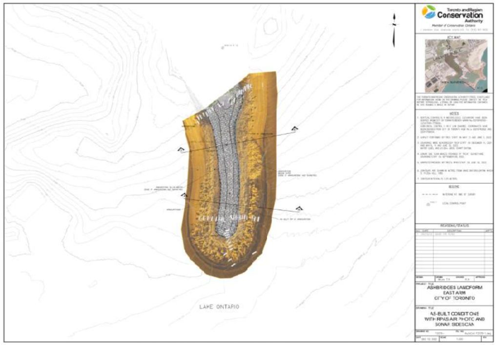
Final product with Survey, Echo Sounding, and 2D Imaging Sonar.
Design Drafting
 Drafting of in-house designs for internally delivered/constructed projects is done by working closely with Project Managers and appropriate engineering teams.
Some of the designs drafted are for erosion mitigation sites, habitat creation or enhancements such as natural channels, wetlands, trails, road improvements, parking lots, inland fill sites, rain gardens, and bioswales.
Construction Services Support
The team provides construction services with critical support on-site before, during, and even after the project is complete. This includes access/ESC layout, design layout, and any other distances or measurements as needed.
The Team
The Survey, Drafting and Design Team always strives to build excellent relationships throughout TRCA and with our partners. They also keep up to date on the newest and most innovative technologies and software available to capture information that best helps each project or program advance.
 |
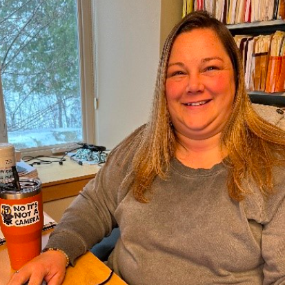
Cathy Eden – Supervisor Cathy joined TRCA in 1998 as a Survey Technician, and in 2001 became Supervisor. |
 |
Glen Geddes – Coordinator Glen joined TRCA in 2001 as a Survey Technician, and became a Coordinator in 2012. |
 |
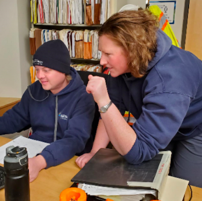
Tim Wheller – Coordinator Tim started at TRCA as a Co-op Student in the Survey Department in 2010. He became a Coordinator in 2014. |
 |
Megan Las – Coordinator Megan joined TRCA in 2003 working as a Field Staff in the Tree Nursery. In 2005 she joined the team as a Survey Technician, and became a Coordinator in 2012. |
 |
Left to Right: Sasha Bobojchov – Senior Survey Technician Sasha joined the team as a Co-op Student in 2009. He was later hired on full-time as a Survey Technician. Krista Lowery – Senior Survey Technician Krista joined the team in 2010 as a Survey Technician. |
 |
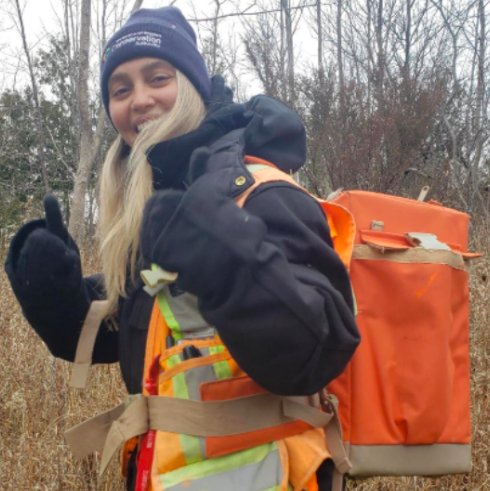
Amber Bowman – Survey Technician Amber joined TRCA in 2015 as Field Technician for ERM. Amber then joined the team as a Survey Technician in 2016. |
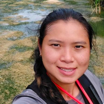 |
Sarah Yeung Tam Sang – Survey Technician Sarah joined TRCA in 2016 working as a Field Technician in ERM, and became a Survey Technician in 2017. |
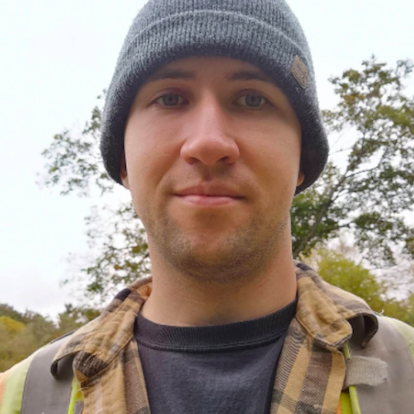 |
Kevin Burnett – Survey Technician Kevin joined TRCA in 2018 as a Survey Technician. |
 |
Caitlin Giordmaina – Survey Technician Caitlin joined TRCA in 2021 working as a Seasonal Tree Planter, and became a Survey Technician in 2022. |
 |
Michael Yu – Technician, Engineering Design/Drafting Michael joined TRCA in 2016 as a Design Drafter, and became part of the Survey, Drafting and Design team in 2022. |